

Up to the minute
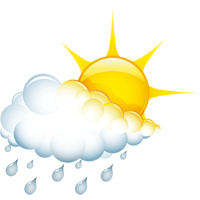
Weather today
Temperature
2 °C / 19 °C
Sunshine hours
9 h

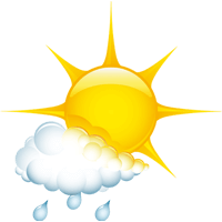


Forecast
Weather forecast
DAILY WEATHER IN DETAIL
THE WEATHER TODAY
The high-pressure system driving the weather is now slowly retreating toward southeastern Europe. Caught between this high-pressure system and intensifying low-pressure activity over Western Europe, the Alps are entering a somewhat more variable southwesterly flow. This will often result in mild southerly foehn effects, meaning that weather conditions around the main Alpine ridge may be slightly more unsettled overall than along the northern edge of the Alps. Nevertheless, largely dry weather will continue through Tuesday afternoon. However, atmospheric instability will then increase significantly, making the first showers increasingly likely as Tuesday evening approaches. From Wednesday into Thursday, the southwesterly flow will generally come under the temporary influence of a low-pressure system, leading to widespread and at times heavy precipitation, with the snow line briefly dropping below 2,000 meters above sea level again. However, the weather will begin to improve again as Thursday progresses, and temperatures will rise significantly in the days that follow.
Wetterstationen
LIVE REPORT
CURRENT TEMPERATUREs
ALL WEATHER STATIONS IN ISCHGL
table.scrollable
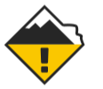
Avalanche warning
1 Low

The avalanche warning level refers to the Austrian part of the ski area
Avalanche warning
2 Moderate
The avalanche warning level refers to the Swiss part of the ski area
Up to the minute
The weather in Ischgl
Real-time information from your holiday region
Sunscreen, windbreaker or umbrella? To come perfectly prepared for your holiday adventure in the Paznaun valley, it’s a good idea to have a look at the weather forecast. Weather you’re headed for a ski resort or the region’s hiking trails – we have all the information you need for your upcoming trip.
Our forecasts keep you informed on things like the snow line, sunshine hours, rain probability and the daily maximum and minimum temperature. Plus, we’ll keep you up to date on the average wind speed and the current avalanche warning level.
Stay Tuned & Stay involved
What inspires – and what matters


